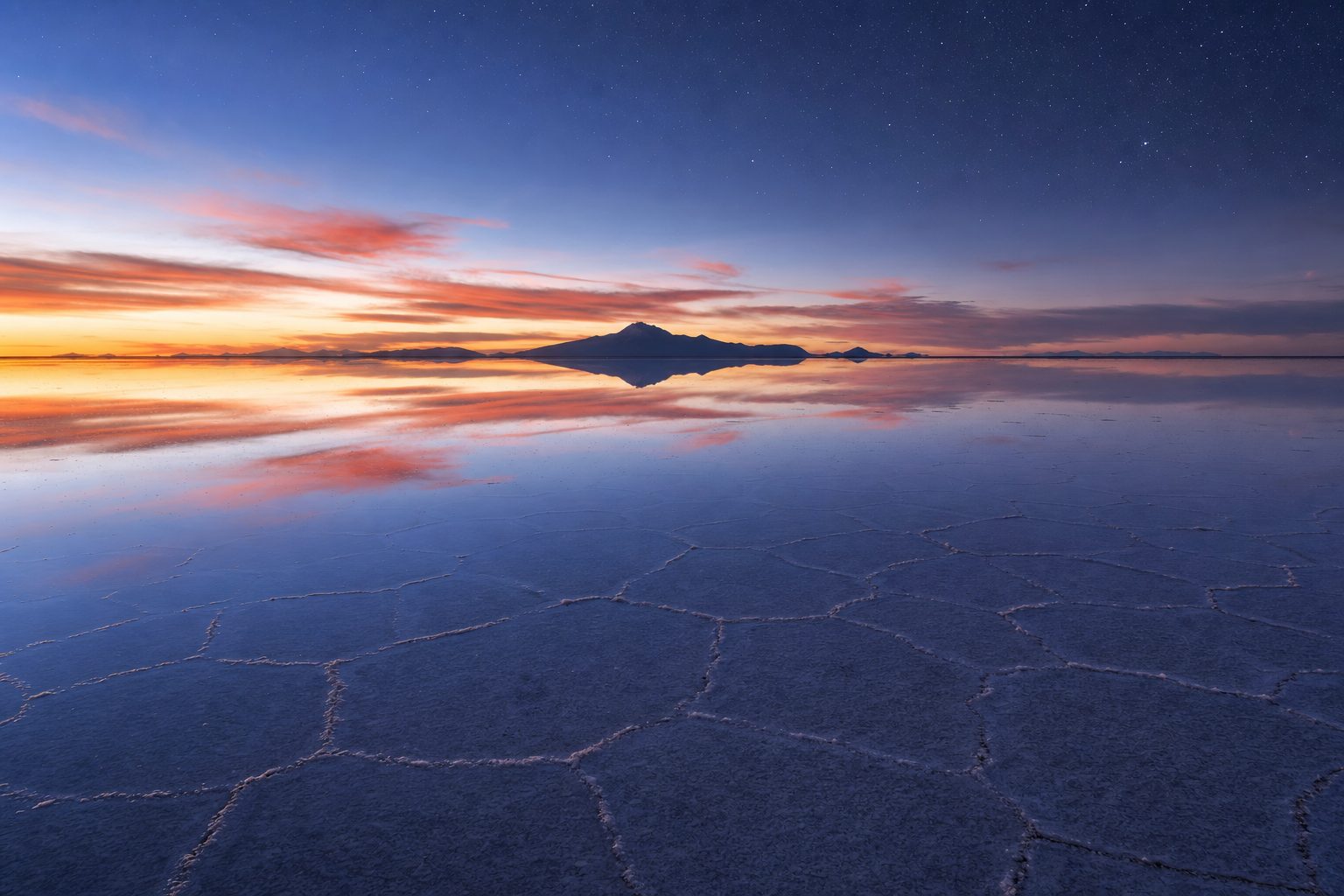
The photograph everyone arrives with is the same one: a figure standing on nothing, clouds above and clouds below, the horizon erased. It is real, and it is also rare. For most of the year Salar de Uyuni is a blinding white plain of salt polygons; the mirror appears only when a few centimetres of rainwater settle across the crust, in a window running roughly from December to April. Four months a year, give or take, the sky has a floor.
That is the first decision a visitor makes, and it shapes the others: the reflection or the honeycomb crust, and whether you can accept that the mirror is never guaranteed on a given day. The rest follow in order. Where to start, since 4x4 tours leave from Uyuni town, from Tupiza to the south-east and from San Pedro de Atacama across the Chilean border. Whether a day trip is enough or the three-day loop through the coloured lagoons is worth the cold. How much cash to carry for fees that tours quietly exclude. And how to manage altitude, cold and glare far from any hospital.
What the salar is, and why it is so flat
Salar de Uyuni sits on the Altiplano of south-western Bolivia, the high plateau between two ranges of the Andes, at about 3,656 metres. It is the largest salt flat on Earth, covering roughly 10,582 square kilometres, an area NASA's Earth Observatory compares to the Big Island of Hawaii. The surface is mostly halite, ordinary table salt, mixed with gypsum, and in many places the crust is more than ten metres thick: what remains of Lago Minchin, a Pleistocene lake in a closed basin that slowly evaporated and left its minerals behind.
NASA's Earth Observatory records Salar de Uyuni at 10,582 square kilometres (4,086 square miles), with a salt crust over 10 metres thick in many areas, and notes that the flat has been used to calibrate sensors on the ICESat and Envisat satellites because it is a large, stable and strongly reflective surface. [1]
The flatness is the point. Across the whole salar the surface varies by less than a metre, which is why scientists use it to check satellite altimeters and why a thin layer of rain spreads into an even sheet rather than pooling in hollows. Nothing breaks the line of sight except the dormant volcano Tunupa on the northern shore and a scatter of rocky islands. Distances become impossible to judge, and when the water arrives the ground stops existing altogether.
Encyclopaedia Britannica puts the Uyuni Salt Flat at 11,995 feet (3,656 metres) above sea level on the Bolivian Altiplano, covering about 4,085 square miles, and separated from the smaller Coipasa Salt Flat to the north by a range of hills. [2]
Mirror season: the four months when the sky has a floor
The mirror has simple ingredients: a shallow sheet of standing water, a white base beneath it, and no wind. Bolivia's rainy season brings the water. The Uyuni Guide describes the rains as running roughly from mid-December to mid-March, with January and February the wettest months and the best odds of a reflection, while operator Salar de Uyuni Tours frames the wet season as December through April with a peak from late January to early March. Only a few centimetres of water are needed, and because the basin has no outlet, water can linger for weeks after the last shower.
As checked in September 2026, Salar de Uyuni Tours, whose mirror-season guide was last updated in April 2026, estimates that in February around 50 per cent of days show mirror-quality conditions, with late February the single highest-probability period, and puts the dry season at May through November. [4]
The honest caveat is that no date guarantees the mirror. December and April are transition months when parts of the flat are flooded and others dry, and even in February the wind can ripple the water into a dull grey sheet by mid-afternoon. Sunrise and sunset are the prizes: low light saturates the sky and the air is usually stiller. If the reflection is the reason for the trip, aim for late January to early March, allow two or three days rather than one, and accept that the best you can buy is a good probability.
The wet season also closes doors. When the water is deep, vehicles cannot safely cross to Isla Incahuasi, the cactus-covered island about 80 kilometres west of Colchani that anchors the classic day trip, and multi-day routes may be rerouted or cancelled. The trade is straightforward: the mirror in exchange for the full crossing.
Dry season: the honeycomb crust and the full crossing
From May to October or early November the salar dries into the other famous image, an endless white plain tiled with raised hexagonal ridges where brine has pushed salt to the surface. This is the season of perspective photography, unbroken drives across the centre of the flat, and clear skies that make the nights extraordinary for stars. Isla Incahuasi is reliably reachable, its short trail climbing through giant Trichocereus cacti to a summit with white in every direction.
The cost is the cold. June to August are the driest and coldest months; the Uyuni Guide notes swings of 30 to 40 degrees between day and night, and operators warn that on the reserve circuit south of the salar temperatures can fall to minus 20 degrees Celsius. July and August are also peak season, with the bluest skies and the fullest vehicles. May, June, September and October offer the same access with fewer people.
Choosing a starting point: Uyuni, Tupiza or San Pedro de Atacama
Most tours begin in Uyuni, a small windswept town at about 3,700 metres on the eastern edge of the salt. It exists almost entirely for the salar: streets of tour agencies, a few dozen hostels, and on the outskirts the Cementerio de Trenes, where rusting steam locomotives from the town's nineteenth-century mining railway sit half-buried in sand. Getting to Uyuni from La Paz means an overnight bus of roughly nine to twelve hours, with 2026 fares quoted by Bushop from around 15 US dollars on basic services to about 43 dollars on the Todo Turismo coach, or a flight of under an hour on Boliviana de Aviación for around 125 to 130 dollars one way.
Tupiza, about 200 kilometres to the south-east at 2,850 metres, is the quieter alternative: you acclimatise lower and run the circuit in reverse, reaching the salt on the final day when the group is adjusted to the height. San Pedro de Atacama in Chile is the third gateway, with three- and four-day cross-border tours that climb straight from the Chilean desert into the Eduardo Avaroa reserve and finish in Uyuni, or run the other way. They are generally dearer with less choice of operator, but they save an awkward border crossing.
Day trip or three-day loop
The one-day tour is the salar in concentrated form. It leaves Uyuni at about ten and returns around five, visiting the train cemetery, Colchani, the salt flat itself, Isla Incahuasi when accessible and, on longer versions, sunset on the salt. As checked in September 2026, Bushop lists shared day tours from about 59 US dollars and Salar de Uyuni Tours quotes 40 to 80 dollars shared or upwards of 150 dollars private. What it misses is everything south of the salt.
The three-day, two-night circuit is the trip most people mean when they talk about Uyuni. Day one is the day tour. Days two and three drive south through the Reserva Nacional de Fauna Andina Eduardo Avaroa: Laguna Colorada with its red water and flamingo colonies, the Sol de Mañana geothermal field, the Polques hot springs, the wind-carved Árbol de Piedra and Laguna Verde beneath Licancabur on the Chilean frontier, climbing from around 3,700 metres to more than 5,000 on the second day. Operators quote 120 to 190 dollars for a shared budget tour and 200 to 350 for mid-range; a four-day version ending in San Pedro de Atacama runs 200 to 300 dollars and up. Vehicles are ageing Land Cruisers, since salt corrodes modern electronics. Four passengers is the comfortable standard; six is common on the cheapest tours, and over three days the difference matters.
There are no official minimum standards for tour operators in Bolivia, including for salt-flat tours; travellers should take local advice, use only reputable companies and check that their insurance covers the activities they plan.
— Paraphrased from the UK Foreign, Commonwealth and Development Office's safety and security advice for Bolivia
That warning is the reason to read recent reviews closely, ask how many passengers will share the vehicle, and confirm what is included: entry fees, breakfast on the last day, the border transfer, a sleeping bag. The first night is usually in a basic salt-block hotel on the edge of the flat, the second in an unheated refuge at high altitude.
As checked in September 2026, Salar de Uyuni Tours lists the Isla Incahuasi entry fee at 30 bolivianos (about 4 US dollars) and the Eduardo Avaroa reserve entry at 150 bolivianos for foreigners (about 21 dollars) and 30 for Bolivians, both verified by the operator in April 2026 and neither routinely included in tour prices. [5]
Altitude, cold and glare: the three things that spoil trips
The UK Foreign Office's health advice for Bolivia names the Salar de Uyuni salt flats specifically as a place where altitude sickness is a risk. Uyuni town is already higher than any summit in the Pyrenees, and the reserve circuit crosses 5,000 metres. The precautions are unglamorous but effective: spend two or three nights at height first, in La Paz or Sucre or by starting in Tupiza; drink far more water than feels necessary; go easy on alcohol; and tell your driver at the first sign of a bad headache or nausea. Emergency care here is limited, so insurance covering high-altitude activities and evacuation is not optional.
The cold arrives at sunset. Days on the salt can be warm enough for a T-shirt, but dry-season nights drop well below freezing and the second night of the loop, in an unheated refuge above 4,000 metres, is usually the coldest of the trip. Then there is the light. The white surface reflects the sun back up at you, so you are lit from below as well as above, and the thin air filters out less ultraviolet. Snow blindness is a genuine risk without proper sunglasses, and sunburn under the chin is a common souvenir.
- Category 3 or 4 sunglasses with full UV protection, a broad-brimmed hat and high-factor sunscreen, including under the chin.
- A four-season sleeping bag or liner, thermal base layers, a down jacket, hat and gloves for nights below minus 10 degrees Celsius on the reserve circuit.
- Around 400 bolivianos in small notes for entry fees, hot-spring access, showers and tips; cards are not accepted on the route.
- A two-litre water bottle, plus altitude medication discussed with a doctor if you are arriving from low elevation.
- Waterproof footwear for the mirror season and a plastic bag for your camera; wet salt corrodes everything it touches.
Behaving well on the salt
The salar is a working landscape as well as a spectacle. The conical piles of salt near the village of Colchani are somebody's harvest; climbing them for photographs collapses a day's labour. The cacti on Isla Incahuasi grow about a centimetre a year, so the tallest are centuries old, and the trail exists to keep feet off them. Drivers keep to established tracks in the wet season because the crust can be thin over pockets of brine, and a stranded vehicle in a flooded salar is a serious problem. If you are asked to stay near the vehicle, stay near the vehicle.
Two notes from the same official source deserve attention. As checked in September 2026, the FCDO's Bolivia advice warned of recurring fuel shortages that disrupt long-distance buses and can leave vehicles waiting days for diesel, and of a state of emergency with roadblocks that travellers are told not to attempt to cross. The Chapare region far to the north is the only area under an advisory against all but essential travel, nowhere near Uyuni, but the counsel to allow extra time and be ready to change plans applies directly to a trip that depends on a full tank and open roads.
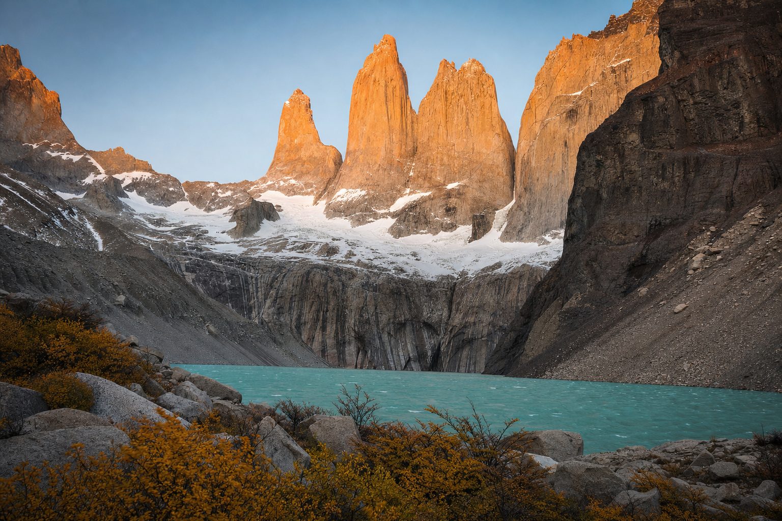
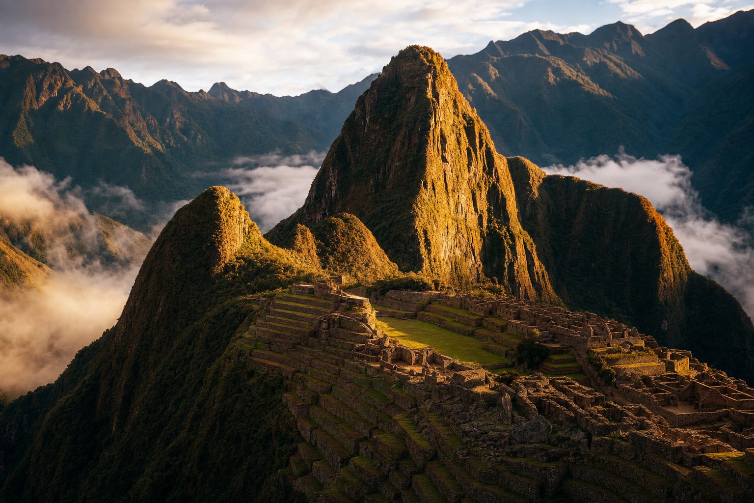
The salar rewards travellers who choose a season and commit to it. Pick the mirror and accept the closed island; pick the honeycomb and accept the cold. Either way it pairs naturally with the rest of the high Andes: many travellers arrive from Machu Picchu and the Sacred Valley via La Paz, already acclimatised, or continue south towards Torres del Paine. For a very different lesson in how seasonal water rewrites a landscape, Brazil's Lençóis Maranhenses, where rain fills dune valleys with turquoise lagoons for half the year, follows the same rule: know when the water comes, and go then.
Sources & further reading
- 1. NASA Earth Observatory — An Expanse of White in Bolivia (Salar de Uyuni)
- 2. Encyclopaedia Britannica — Uyuni Salt Flat
- 3. Uyuni Guide — When can I see the mirror and reflection?
- 4. Salar de Uyuni Tours — Best time to visit for the mirror effect
- 5. Salar de Uyuni Tours — How to visit Salar de Uyuni (tours, fees, seasons)
- 6. Bushop — Uyuni Salt Flats Guide 2026: how to visit
- 7. UK FCDO — Bolivia travel advice: Health
- 8. UK FCDO — Bolivia travel advice: Safety and security