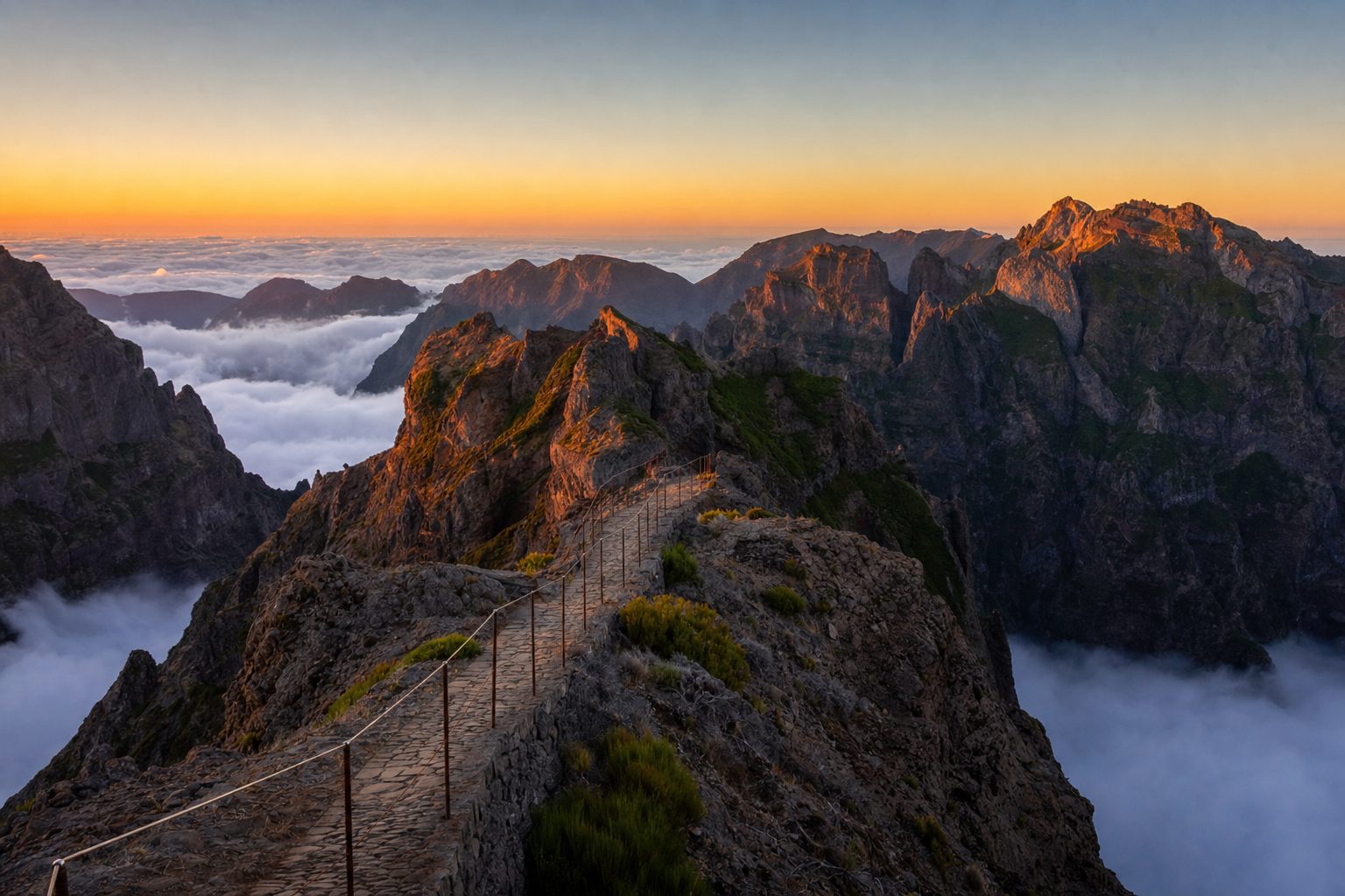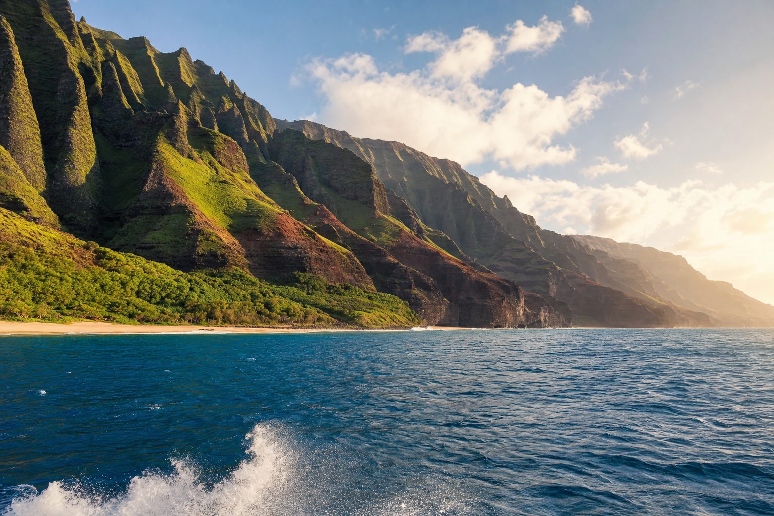

Iceland makes route-planning almost insultingly simple: there is one road, and it goes in a circle. Route 1 — Hringvegur, the Ring Road — loops the entire island in a single continuous ribbon, and, as a local saying has it, you cannot take a wrong turn. What it strings together in that loop is another matter entirely: waterfalls you can walk behind, beaches the color of coal, a lagoon where icebergs drift out to sea, geothermal fields that hiss and spit, and fjords so empty the silence rings.
Reykjavík anchors the whole thing — the world's northernmost capital, a low-rise city of corrugated-iron houses and outsized ambition that most travelers use as a start line and a finish line. The trick to Iceland is deciding how much of the circle to attempt, and how fast. Rush it and the country becomes a blur of car parks. Give it room and it becomes one of the great road journeys on earth.
What makes the drive extraordinary is the sheer density and variety of what the road passes through relative to how few people live along it — a nation of fewer than 400,000, most of them clustered around the capital, scattered across a landscape that looks less like a country than a geology textbook rendered in the flesh. You will cross lava fields still black and raw from eruptions within living memory, ford the outwash plains of glaciers, and drive for stretches where the only other traffic is sheep. Iceland sits astride the Mid-Atlantic Ridge, where two continental plates are slowly tearing apart, and the Ring Road is essentially a lap around the seam.
The one road, and how long it takes
Completed in 1974 to knit the island's remote corners together, Route 1 is a mostly-paved, two-lane highway that connects the waterfall-rich South Coast, the glacier country of the southeast, the empty East Fjords, the geothermal north around Lake Mývatn and Akureyri, and the lava plains of the west before delivering you back to the capital. In summer a standard 2WD car handles it fine; in winter a 4x4 and a close eye on the weather are essential.
The Ring Road (Route 1) is approximately 1,322 kilometers (821 miles) long and fully paved; driven non-stop it takes roughly 16–17 hours, but most travelers spend 7 to 14 days on it, with around 10 days considered the ideal balance. [1]
Do not attempt it in fewer than seven days, and understand what seven buys you: long driving days, one-night stays, and no margin for weather. Eight to ten days is the honest sweet spot for a first loop — three-to-four-hour drives, time to actually stand at the waterfalls, and a buffer for the storms that will, at some point, rearrange your plans. Twelve to fourteen days lets you add the Snæfellsnes Peninsula or the remote Westfjords and slow the whole thing down to the pace the landscape deserves.
Two practical truths shape every itinerary. First, distances deceive: the raw loop is around 1,322 kilometers, but once you factor in the detours to waterfalls, viewpoints and the odd wrong-guess gravel track, most travelers actually cover closer to 1,800–2,200 kilometers. Second, book your accommodation before you book anything else. Outside the capital and Akureyri, beds are genuinely scarce, guesthouses fill months ahead for summer, and you cannot simply roll into the next town and expect a room. Lock in your overnight stops first, then let the driving flow between them.
Which way to drive, and where to start
Most loops begin and end in Reykjavík, or at Keflavík airport 45 minutes away, and the great debate is clockwise versus counterclockwise. The common counsel is to drive the South Coast first — clockwise — so you hit the most dramatic, most reliable-weather highlights while you are freshest: Seljalandsfoss, Skógafoss, Reynisfjara, and the glacier lagoon at Jökulsárlón. Either direction covers the same ground; the order is what changes.
A word on the capital itself. Give Reykjavík a night at the front and, ideally, one at the back. It is small enough to walk — the rainbow-painted street up to the concrete rocket of Hallgrímskirkja, the harbor, the design shops and coffee bars — and it is where Iceland's food culture actually lives. Many travelers fold in the geothermal Blue Lagoon on the way in or out from the airport, and the Golden Circle — Þingvellir, the Geysir field, Gullfoss — as a day loop from the city before committing to the Ring.
Þingvellir National Park, on the Golden Circle route, is a UNESCO World Heritage Site where the North American and Eurasian tectonic plates visibly pull apart, and where Iceland's parliament, the Alþingi, was founded in 930 AD. [6]
The South Coast: waterfalls and black sand
The first day east out of Reykjavík is the greatest-hits reel. Seljalandsfoss pours off a cliff fed by meltwater from the Eyjafjallajökull glacier — the volcano that grounded European air travel in 2010 — and a path lets you walk behind the curtain of water. A short drive on, Skógafoss crashes down in a wide rectangular sheet, throwing up a permanent cloud of mist and, often, a rainbow; a staircase climbs to a platform at the lip.

Then the coast turns strange and beautiful at Reynisfjara, near the village of Vík — a beach of jet-black volcanic sand backed by hexagonal basalt columns and the Reynisdrangar sea stacks offshore, with puffins nesting in the cliffs in the warmer months. Heed the warnings here: Reynisfjara's 'sneaker waves' are powerful and have killed. Keep well back from the waterline and never turn your back on the sea.
Glacier country and the iceberg lagoon
East of Vík the road runs beneath the vast white bulk of Vatnajökull, Europe's largest ice cap, and past Skaftafell in Vatnajökull National Park, where a short walk reaches the basalt-columned falls of Svartifoss. But the set-piece is Jökulsárlón, a glacial lagoon where icebergs calved from the glacier's edge drift in shades of blue and white toward the sea, sometimes with seals among them.

Jökulsárlón glacier lagoon sits on the Ring Road about 370 km east of Reykjavík (roughly a five-hour drive) and 80 km west of Höfn; the entire route to it is paved and there is no entrance fee. [8]
Across the road, the ice makes its final act. Bergs that wash out of the lagoon and back onto the volcanic sand give Diamond Beach its name — chunks of ancient, glass-clear glacier ice scattered on black sand like jewels on velvet. It is the kind of scene that makes even jaded travelers go quiet. Summer boat tours run out among the bergs; in winter the lagoon is often the first stretch of the South Coast to be plowed after a storm.
It is worth pausing here on what you are actually looking at, because the beauty carries a warning. The ice drifting past you fell as snow on the Vatnajökull ice cap centuries ago, compressed into glacier and now, at the end of a long journey downhill, calving into the sea. Iceland's glaciers are retreating, and Jökulsárlón itself only exists because the ice began pulling back from the coast a century ago, opening the basin the lagoon now fills. What feels timeless is in fact a landscape in rapid motion — which is, in a sense, the whole lesson of the island: nothing here is finished.
People ask me what the Ring Road is like. I tell them it is the only road I know where you can drive for an hour behind schedule and not care, because the reason you're late is a waterfall you couldn't stop looking at.
— Sigrún Halldórsdóttir
The empty east, the geothermal north
Beyond Höfn the Ring Road threads the East Fjords, the loop's quietest quarter — a slow, cliff-hugging coastal drive past tiny fishing hamlets and reindeer on the hillsides, where seven-day itineraries often cut inland to save time and where those with days to spare should not. It climbs to Egilsstaðir and then west into the geothermal north: Lake Mývatn, ringed by pseudo-craters and the steaming, sulfur-yellow mud pots of the Hverir field; the thundering Goðafoss, the 'waterfall of the gods'; and Akureyri, the north's handsome capital at the head of a long fjord. The western return through Borgarnes is the gentlest stretch, and the place to fold in the Snæfellsnes Peninsula if your days allow.
When to go
June through September is the driving season: long daylight — near-endless in high summer — mostly open roads, and the whole Ring accessible to a normal car. July and August are busiest; June and September are the shoulder sweet spot. Winter is a different, harder country — as little as four hours of daylight, storm closures, and a 4x4 non-negotiable — but it is also the season of the northern lights and of the island at its most elemental. Whichever you choose, build in slack. In Iceland the weather, not the map, decides the itinerary.
A note on the culture of the road, because it matters. Icelanders take conservation and safety seriously, and expect visitors to do the same: stay on marked paths and roads, because the moss and lichen that carpet the lava can take decades to recover from a single boot-print, and never, ever drive off-road, which is both illegal and destructive. The country's other great social institution is the geothermal pool — not the pricey Blue Lagoon but the humble municipal sundlaug found in nearly every town, heated by the earth, where locals gather in the hot pots to gossip and thaw. Shower thoroughly before entering; it is a firm and non-negotiable rule. A soak at the end of a long driving day, steam rising into cold air, is as close as Iceland comes to a national ritual.
Where to Eat
Reykjavík's kitchens have quietly become one of the best reasons to visit Iceland at all. The New Nordic movement took root here in island form — lamb raised on wild herbs, fish landed that morning in the Westfjords, foraged crowberries and angelica, skyr, and the deep local habit of curing and smoking against the long dark. Prices are steep, as everything is in Iceland, but the cooking earns it. Start in the capital before the road pulls you away; these are the tables worth the reservation.

DillNew Nordic tasting menu
The first restaurant in Iceland to win a Michelin star, opened in 2009 by chef Gunnar Karl Gíslason. It gained its star in 2017, lost it in 2019, and reclaimed it in 2020, and remains the island's fine-dining benchmark, with a sustainable, hyper-seasonal focus and an understated interior.
Why it’s so good: Iceland's defining fine-dining experience and the clearest statement of what New Nordic cooking means this far north.
Top picks: Cured lamb · Wolffish from the Westfjords · Blue mussels with bilberries, barley and beetroot

Grillmarkaðurinn (Grill Market)Refined Icelandic / Nordic locavore
One of the capital's best-known locavore restaurants, built on a commitment to local farmers and suppliers, with a design-savvy but earthy interior of wood, moss, basalt and fish leather, and an expertly curated wine list.
Why it’s so good: The polished, celebratory Reykjavík dinner — serious local sourcing without the tasting-menu formality.
Top picks: Salted cod with lobster salad · Grilled reindeer · Jalapeño margarita to start

Fiskmarkaðurinn (Fish Market)Japanese-inspired Icelandic seafood
A sultry two-floor room hung with red lanterns, widely rated among Reykjavík's best, marrying Japanese technique to local ingredients with immaculate presentation.
Why it’s so good: Where Iceland's superb raw seafood meets sushi-counter precision — the most stylish fish dinner in the city.
Top picks: Sashimi and nigiri of local fish · Rock shrimp tempura · Lobster soup

Sægreifinn (Sea Baron)Harbor seafood shack
A legendary, simple wood-panelled shack down by Reykjavík's old harbor, famous above all for its lobster soup and its skewers of fresh fish and shellfish grilled to order.
Why it’s so good: The unpretentious counterpoint to the fine-dining rooms — cheap, packed, and beloved by everyone from fishermen to visiting chefs.
Top picks: Lobster soup (humarsúpa) · Grilled seafood skewers · Whatever the day's catch is

Þrír FrakkarTraditional Icelandic bistro
A charming, intimate spot serving traditional fish and seafood in the same location since 1989, founded by Úlfar Eysteinsson and now run by his son, with warm, old-school service.
Why it’s so good: The place to eat the classic, slightly daunting Icelandic canon among locals rather than as a stunt.
Top picks: Plokkfiskur (mashed fish) with black bread · Pan-fried catfish · Halibut

Bæjarins Beztu PylsurIcelandic hot dog stand
Reykjavík's iconic harbor-side hot dog kiosk, a national institution serving lamb-based pylsur since 1937 — order 'eina með öllu' (one with everything: raw and fried onions, ketchup, sweet mustard and remoulade).
Why it’s so good: The essential cheap eat and a genuine local rite of passage, worth the short queue between bigger meals.
Top picks: Ein með öllu (one with everything) · A bottle of Appelsín or Malt to wash it down
Out on the Ring itself, dining thins to soup at N1 petrol stations and the odd fine surprise — the langoustine of Höfn, the fish soup of a fjord-side café, the geothermal-baked rye bread you can buy near Mývatn, cooked in the hot earth. Stock a cooler in Reykjavík before you set off, and treat any good roadside meal as the gift it is.
Sources & further reading
- 1. Iceland.org — Ring Road Iceland: Complete Route 1 Driving Guide 2026
- 2. Iceland Tours — Driving Iceland's Ring Road (2026)
- 3. Icelandair — Iceland's Ring Road: Attractions & Itinerary
- 4. Blue Car Rental — How Long to Drive Around Iceland
- 5. Jökulsárlón Glacier Lagoon Visitor Guide — driving rules & apps
- 6. Bradt Guides — The Best Iceland Ring Road Itinerary (Þingvellir, waterfalls)
- 7. Telegraph / Yahoo — The 13 best restaurants in Reykjavik
- 8. whattodo.is — Jökulsárlón glacier lagoon key facts